News Summary
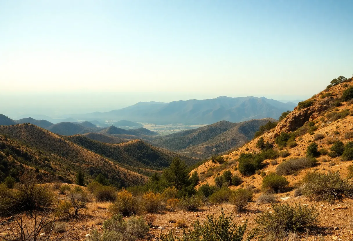
Southern California residents are bracing for heightened fire risks as new state hazard maps reveal a 76% increase in areas designated as high and very high fire zones. Over 1.1 million acres are now categorized under these zones, requiring stricter fire safety regulations. As communities adapt to these changes, the urgency of wildfire preparedness becomes more crucial than ever before. Key urban areas, including Riverside County’s Jurupa Valley, have seen significant expansions of fire hazard zones, prompting local governments to act quickly in response to the updated regulations.
Southern California Faces Increased Fire Hazard Zones
In Southern California, residents are gearing up for an evolving landscape of fire risks as recent state hazard maps revealed a staggering 76% increase in fire hazard areas. Released on March 24, these new maps indicate that over 1.1 million acres now fall into the high and very high fire zone categories, highlighting the urgency of wildfire preparedness for communities across the region.
What Do the New Maps Tell Us?
The “very high fire hazard severity zone” has expanded by 26%, which means many more residents must now navigate stricter fire safety codes. This includes mandates for clearing flammable plants and undergoing property inspections before selling homes. If you’re in an area designated as a very high fire zone, this means you’ll need to maintain a “defensible space”—which refers to a clear area within 100 feet of your home—to minimize wildfire risks.
This kind of proactive approach is part of a long-term initiative by Cal Fire, which has spent 40 years mapping out areas at risk for wildfires. The updated hazard maps cover eight counties, namely Los Angeles, Orange, Riverside, San Bernardino, San Diego, Imperial, Inyo, and Mono. With the five most populous counties now showing 812,000 acres designated as very high fire hazard areas—up from just over 644,000 acres in previous maps—it’s clear that the problem is growing.
Key Changes Across The Regions
The latest maps show an increase in very high fire hazard areas in 70 jurisdictions while decreasing in others. One standout example is Riverside County’s Jurupa Valley, which ballooned from 226 acres to a whopping 6,195 acres. On the flip side, five cities that were previously designated as high hazard now have no very high zones at all. In contrast, 35 cities that were previously not classified as such, including Santa Monica and La Cañada-Flintridge, have now found themselves included. This shake-up has local governments scrambling, as they need to have the new maps available for community review by April 23 and to finalize designations by July 22.
Strict Fire Safety Regulations Are Here to Stay
Under state law, local governments cannot shrink the size of fire zones but are allowed to expand them. Fire chiefs have commented that some areas seemed to have received less attention in the new severity zones than anticipated. This change means that any construction work carried out in high and very high fire zones will now have to comply with the stricter regulations outlined in Chapter 7A of the state building code, which includes features designed to be resistant to sparks and embers, further contributing to fire safety efforts.
It’s important to note that the total state-wide area categorized as very high fire zones now encompasses 1.16 million acres, marking a 35% increase since 2011. Combined with the high fire zones, the cumulative area reaches approximately 2.3 million acres. Plus, new “Zone 0” rules are in the works, which require homeowners to clear away flammable items from the first five feet around their homes.
Climate Change: A Growing Concern
The increased fire zones can be largely attributed to rapidly changing weather patterns and evolving climate conditions. Some critics argue that the updated maps fail to truly capture the threats posed by wildfires, especially in light of past catastrophic events like the Eaton fire, which wreaked havoc in areas that weren’t classified as high risk.
Community reactions will likely vary, but many locals are expected to adapt to these updated regulations as they come to terms with the growing threat of wildfire risks in their neighborhoods. The most recent map revisions serve as a clear reminder that proactive measures are needed to mitigate these increasing threats. It’s time for Southern California to take fire safety seriously as the landscape shifts and the risks to our homes and communities become more pronounced.
Deeper Dive: News & Info About This Topic
- Los Angeles Times: Wildfire Hazard Zones
- Wikipedia: Wildfire
- LAist: High Fire Hazard Maps
- Google Search: California fire hazard severity
- Daily News: Southern California Fire Zones
- Google Scholar: California wildfires
- NBC Los Angeles: Cal Fire Hazard Maps
- Encyclopedia Britannica: Wildfire Risk
- Palm Springs Post: Fire Hazard Severity in Palm Springs
- Google News: California fire haze

Author: STAFF HERE BEVERLY HILLS WRITER
The Beverly Hills Staff Writer represents the experienced team at HEREBeverlyHills.com, your go-to source for actionable local news and information in Beverly Hills, Los Angeles County, and beyond. Specializing in "news you can use," we cover essential topics like product reviews for personal and business needs, local business directories, politics, real estate trends, neighborhood insights, and state news affecting the area—with deep expertise drawn from years of dedicated reporting and strong community input, including local press releases and business updates. We deliver top reporting on high-value events such as the Rodeo Drive Concours d'Elegance, the Beverly Hills artSHOW, Concerts on Canon, and holiday celebrations throughout the city. Our coverage extends to key organizations like the Beverly Hills Chamber of Commerce and Visit Beverly Hills, plus leading businesses in luxury fashion, hospitality, and entertainment that drive the local economy. As part of the broader HERE network, including HERELosAngeles.com, HERESantaAna.com, HEREHuntingtonBeach.com, and HERECostaMesa.com, we provide comprehensive, credible insights into Southern California's dynamic landscape.